


Transportation information for North Cascades NP is provided below. Travel information includes driving directions, maps, airport information and more.
Airports
Pangborn Memorial Airport serves the commercial flight needs of north central Washington and the surrounding area with 5 daily flights to and from Sea-Tac via Horizon Airlines. Pangborn Memorial Airport is located in the town of Wenatchee about 69 miles northwest of Moses Lake.
Map + Directions
Basic Directions
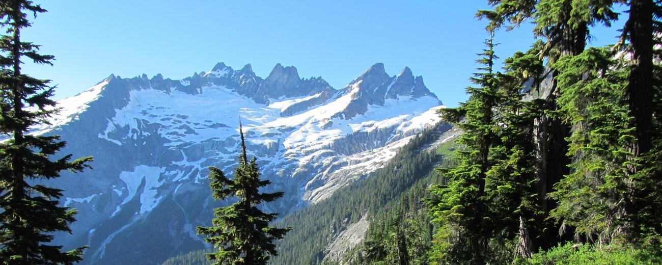
The North Cascades, including Mt. Baker National Forest and -Snoqualmie National Forest covers such a large region that getting there should be no problem. The main roads through the mountains are U.S. Highway 2, I-90 which bisects Washington from east to west and State Highway 20. The forest is located in the Northernmost corner of the United States about an hour east of Puget Sound.


