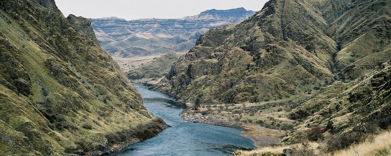
Below you will find helpful information about Hells Canyon NRA.
Overview
Split by the Snake River into two distinct areas, the Hells Canyon National Recreation Area straddles the Idaho and Oregon state boundary. From most of the recreation area, the other side is not easily accessible.
Idaho Side
The Seven Devils Mountain Range takes up most of the eastern side of the recreation area. These towering peaks, rock-faced slopes, and alpine lakes are said to be named for a vision of seven dancing devils that appeared to a lost traveler. When exploring this country, the story seems likely. Here, splendid mountain peaks rise well over 9,000 feet, with names like "She Devil" and "The Twin Imps." Hundreds of miles of trails wander through the wilderness here, including peak ascents and less strenuous routes.
At lower elevations on the Idaho side, dry, barren, steep slopes break over into the Snake River canyon. Elk, bear, bighorn sheep, mountain goats, and many other species of birds and animals are common here.
The Idaho side of the recreation area is accessible from several seasonal roads heading west from US 95, most near the town of Riggins. Much of the terrain on this side is part of the Hells Canyon Wilderness, where motorized vehicles are restricted.
Oregon Side
On the west side of the Snake River is a large section of highlands, as well as the canyon itself, protected with Wilderness designation. This side is a little more accessible by road, and a number of scenic overlooks await those willing to explore. The Oregon towns of Enterprise and Joseph provide convenient access to all points on the west side of the river.
Equestrians dominate the Oregon side with heaviest use associated with spring and fall big game hunt season. However, the lower elevations offer wilderness recreational opportunities year round.


